Log in
All resources
Create a design
18 Free Artworks of Old Maps Of Lower Saxony
baroque
17th-century maps of lower saxony
old maps of emden
cities in lower saxony in the 1640s
emden (lower saxony) in the 17th century
atlas novus (blaeu)
engravings of topographia saxoniae inferioris
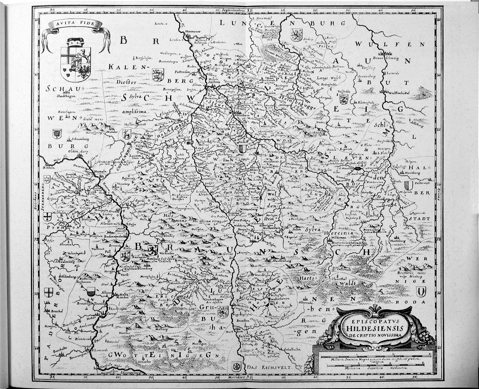
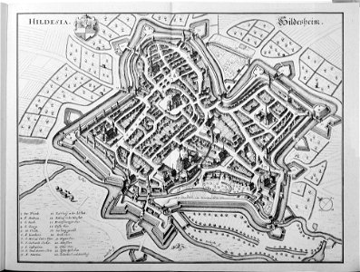
old maps of hildesheim
hildesheim in the 17th century
copper engraving print
maps of the elbe
alster (river)
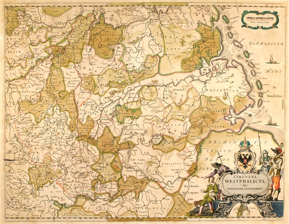
topographia westphaliae (merian)
baroque
old maps of emden
baroque
maps by willem and johannes blaeu
old maps of emden
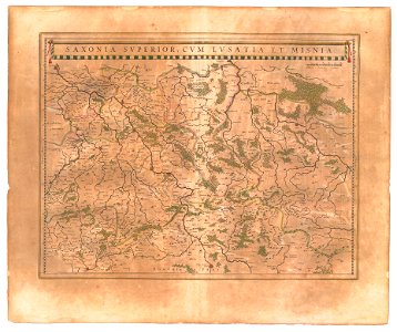
old maps of lusatia
old maps of saxony
maps of districts of lower saxony
steinfurt in the 1640s
maps of emden by braun & hogenberg
1575 in lower saxony
maps by john cary
1799 maps
maps by willem and johannes blaeu
1640 maps
atlas ou representation du monde universel t. 2 (1633)
maps by jan janssonius
1640s maps of lower saxony
atlas novus (blaeu)
hamburgische elbkarte von melchior lorichs
maps of buxtehude
engravings of topographia saxoniae inferioris
baroque
engravings of topographia saxoniae inferioris
baroque
atlas van loon
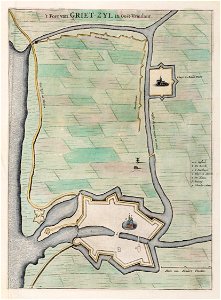
greetsiel
david rumsey historical map collection
old maps of the holy roman empire
maps by john cary
1799 maps
engravings of topographia saxoniae inferioris
baroque
1 - 18 of 18
/ 1